Ancient Egypt Map
Ancient Egypt, known for its rich history and remarkable civilization, was one of the world’s most influential ancient civilizations. A crucial element in understanding the geography and significance of this civilization is the ancient Egypt map. The ancient Egyptians developed a unique system for representing their land, which helps us visualize the vastness and complexity of their empire. In this article, we will explore the ancient Egypt map, its features, and its importance in understanding this remarkable civilization.
You can find some map of ancient Egypt here: https://www.journeytoegypt.com/en/blog/egypt-map
The ancient Egypt map, also referred to as the “Nile Valley,” revolved around the Nile River, which played a central role in the lives of the ancient Egyptians. The Nile was the lifeblood of the civilization, providing fertile soil for agriculture and facilitating trade and transportation. As a result, the ancient Egyptians saw their world in terms of the Nile and its surrounding areas.
The Nile River
The Nile River, stretching over 4,000 miles, divided ancient Egypt into two distinct regions: Upper Egypt in the south and Lower Egypt in the north. The Nile Delta, where the Nile River empties into the Mediterranean Sea, formed a crucial part of the ancient Egypt map. The Nile Delta was a hub for trade and commerce, and its fertile soil supported the growth of crops and the establishment of cities.
Within the ancient Egypt map, there were several key cities and landmarks that played significant roles in the civilization. Memphis, located near modern-day Cairo, was the capital city of ancient Egypt during the Old Kingdom period. It was a political and cultural center, housing the royal palaces, temples, and administrative buildings.
Another prominent city on the ancient Egypt map was Thebes, located in Upper Egypt. Thebes, known as Waset by the ancient Egyptians, was the capital during the New Kingdom period and became a religious center with the construction of magnificent temples such as Karnak and Luxor.
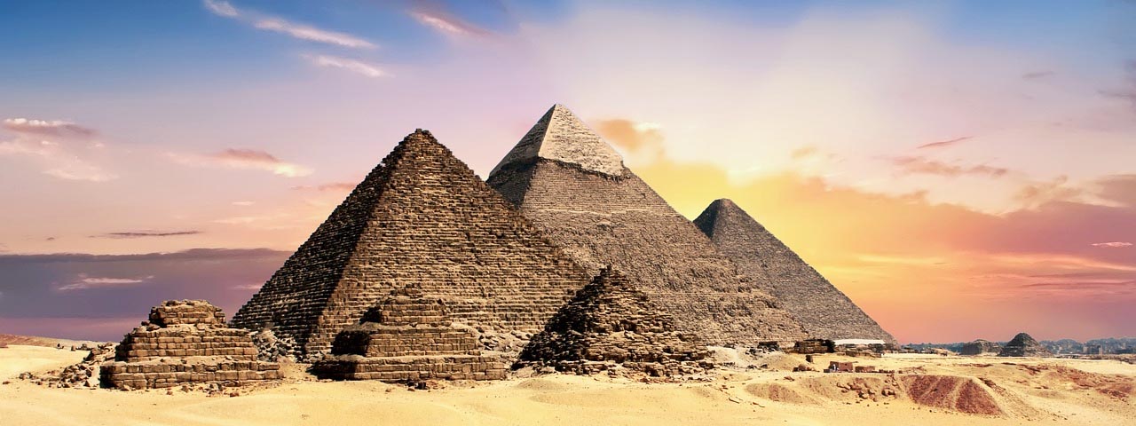
The Great Sphinx and the Pyramids of Giza
The Great Sphinx and the Pyramids of Giza are iconic landmarks that dominate the ancient Egypt map. These monumental structures were built as tombs for the pharaohs and served as a testament to the advanced architectural and engineering skills of the ancient Egyptians.
Beyond the Nile Valley, the ancient Egypt map extended to include the neighboring regions of Nubia (present-day Sudan) and the Sinai Peninsula. Nubia, located to the south of Egypt, was a vital trading partner and source of valuable resources such as gold and ivory. The Sinai Peninsula, located to the east, was significant for its strategic location and access to trade routes between Egypt and the Levant.
The ancient Egypt map provides valuable insights into the civilization’s expansion, trade networks, and cultural interactions. The Nile River and its tributaries facilitated trade routes and communication between different regions, contributing to the growth and prosperity of ancient Egypt.
Studying the ancient Egypt map helps us appreciate the remarkable achievements of this ancient civilization. It allows us to understand the geographic factors that influenced their way of life, the significance of the Nile River, and the importance of various cities and landmarks. The map serves as a visual tool that brings ancient Egypt to life and helps us unravel its mysteries.
Today, ancient Egypt maps can be found in museums, textbooks, and online resources. They provide a glimpse into the world of pharaohs, pyramids, and temples, allowing us to explore the ancient civilization that left an indelible mark on human history. By studying the ancient Egypt map, we can appreciate the enduring legacy of this remarkable civilization and its impact on the development of human civilization.
Links:
Wikipedia: Ancient Egypt
History Channel: Ancient Egypt
Live Science: Ancient Egypt
Ancient Egypt for Kids
British Museum: Ancient Egypt